Leave a Message

By providing your contact information to Ektra Real Estate, your personal information will be processed in accordance with Ektra Real Estate's Privacy Policy. By checking the box(es) below, you consent to receive communications regarding your real estate inquiries and related marketing and promotional updates in the manner selected by you. For SMS text messages, message frequency varies. Message and data rates may apply. You may opt out of receiving further communications from Ektra Real Estate at any time. To opt out of receiving SMS text messages, reply STOP to unsubscribe.

Thank you for your message. We will be in touch with you shortly.

Is Belmont The Right Choice For Peninsula Commuters?

Is Belmont The Right Choice For Peninsula Commuters?

Two careers, two destinations, one question: can you both commute smoothly from Belmont? If you split between Palo Alto, Menlo Park, and San Francisco, you need clear, reliable options that do not eat your mornings. In this guide, you will see how Caltrain stacks up against driving, what last‑mile looks like, neighborhood tradeoffs, and a simple checklist to test your own routes. Let’s dive in.

Where Belmont fits on the map

Belmont sits in the mid‑Peninsula along the Ralston Avenue and El Camino Real corridor, with one Caltrain stop at Belmont station near downtown. City planning focuses growth and transit access along this corridor, which is why many commuters prioritize housing near Ralston for shorter last‑mile times. You can review the city’s transit‑oriented planning in the Belmont Village Specific Plan to understand how this area continues to evolve for commuters and shoppers alike. You will find the plan under the city’s community development pages for the Belmont Village Specific Plan.

Caltrain vs driving: what to expect

Caltrain is the most consistent option for trips to Palo Alto and Menlo Park because it avoids freeway slowdowns. Belmont is served by local trains, and many express runs skip the station, so you will want to match your departure to the timetable. You can check stop patterns and times on the official Caltrain schedules and PDFs.

Driving gives you flexibility via US‑101 on the bay side, El Camino Real, and I‑280 to the west. Off‑peak trips can be quick, but peak‑period congestion introduces a wide range of travel times and less reliability. County congestion management reports document how speeds and travel time reliability drop during peak windows, which is why many tech workers prefer the train for day‑to‑day predictability.

Sample commute times

These examples come from published schedules and regional reports. Treat them as typical ranges rather than guarantees and add time for your door‑to‑door steps like walking, parking, and waiting.

Belmont to Palo Alto by Caltrain

  • On‑train time commonly runs about 12 to 20 minutes on local services. Add roughly 10 to 25 minutes for the last mile and station time. You can confirm options in the current timetable on the Caltrain schedules page.

Belmont to Menlo Park by Caltrain

  • On‑train time is often about 15 to 25 minutes on local trains. Door‑to‑door will vary based on your last‑mile connection from the station to your office.

Belmont to San Francisco by Caltrain

  • On‑train time to 4th & King is commonly about 30 to 40 minutes depending on the train’s stop pattern. Door‑to‑door usually ranges from 45 to 75 minutes once you include station time and any transfer within San Francisco. Caltrain’s schedules page will show the current service windows.

Driving ranges to major job centers

  • Belmont to Palo Alto by car is often 15 to 25 minutes off‑peak and 25 to 45 minutes or more during peak periods.
  • Belmont to Menlo Park is similar, commonly 20 to 40 minutes or more at peak depending on your exact route.
  • Belmont to San Francisco is typically 25 to 35 minutes off‑peak and 30 to 60 minutes or more during peak congestion or incidents. County congestion management documents explain why these ranges widen during rush hour.

Last‑mile options and station tips

Belmont station has an elevated island platform, paid parking, and bike parking that make park‑and‑ride or bike‑to‑train commutes workable. Station data list roughly 375 parking spaces, but you should confirm current pricing and availability before relying on it. The station summary is available on the Belmont Caltrain station page.

SamTrans routes run along El Camino Real and Ralston, with local and school‑oriented lines that connect neighborhoods to Caltrain and nearby hubs. You can review the route list to see which lines serve your block and whether service is year‑round or school‑day only. Many employers in Palo Alto and Menlo Park also operate private shuttles, so check your HR portal to see if a shuttle stop aligns with Belmont or a nearby station.

Schools and care basics

Belmont students typically attend the Belmont–Redwood Shores School District for K–8 and the Sequoia Union High School District for high school. Families often reference Ralston Middle and Carlmont High when planning daily routines, but always confirm your address‑specific assignment and enrollment rules with the districts. Start with the district homepages for the K–8 Belmont–Redwood Shores School District and Sequoia Union High School District.

There are also nearby private options, including Notre Dame High School and preschool programs like Belmont Oaks Academy and Merry Moppet. Admissions timelines and transportation options vary, so factor pickup and drop‑off logistics into your commute tests.

Neighborhood tradeoffs for commuters

Every Belmont area can work for commuters, but last‑mile time and daily routines will feel different. Here is a quick, neutral read on what to expect.

Belmont Village and Ralston corridor

  • Why consider it: You are closest to the Caltrain station, SamTrans stops, shops, and services. This is the shortest last‑mile for dual‑income households that rely on the train.
  • What to weigh: Busier streets and typically smaller private yard space on the most walkable blocks. The city’s Belmont Village Specific Plan outlines how mixed‑use and transit access concentrate here.

Carlmont and Central areas

  • Why consider it: You can walk to Carlmont Village shopping and are near Ralston Middle and Carlmont High. This area blends single‑family homes with some apartments and townhomes.
  • What to weigh: Many streets sit uphill from the train, so plan for a short drive, a bike, or a steeper walk to reach the station.

Western Hills, Antique Forest, The Knolls

  • Why consider it: Larger lots, scenic streets, and a quieter, more suburban setting with strong single‑family housing stock.
  • What to weigh: Hilly, narrower roads add about 5 to 15 minutes of last‑mile time to Caltrain or US‑101 compared with the Ralston corridor. Check the city’s neighborhood associations page for official neighborhood names and boundaries.

Sterling Downs, Sterling Point, Plateau, McDougal

  • Why consider it: Established neighborhoods with an active community feel.
  • What to weigh: Depending on the block, you may be farther from direct transit access. Do a door‑to‑door test using the exact route and time you plan to commute.

Housing costs and value

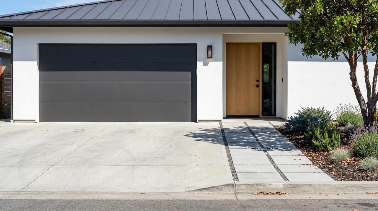
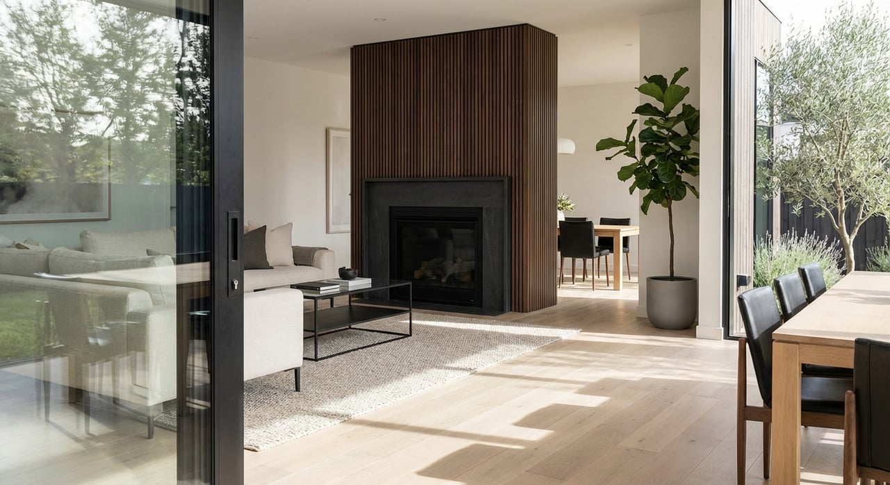
Belmont is a high‑demand mid‑Peninsula city with limited inventory. Recent snapshots place the city’s median sale price in the low‑to‑mid 2 million dollar range, with plenty of variation by property type and neighborhood. Homes close to Caltrain and the Ralston corridor often trade lot size for walkability, while hillside properties trade last‑mile time for space and views. If you are targeting a specific school pickup window or a two‑office commute, weigh that daily time cost against the premium for location.

How to decide: a simple playbook

Use this checklist to pressure‑test Belmont against your actual work week:

  • Map both offices. Note exact building addresses and your preferred arrival windows.
  • Pick your mode. Compare a Caltrain local from Belmont vs a car route on US‑101 or I‑280 for the same time of day.
  • Confirm train options. Check the current Caltrain timetable to see which trains stop at Belmont during your target arrival and return windows.
  • Test the door‑to‑door. On a weekday, do one full run from a short‑listed neighborhood at your real departure time. Include school drop‑offs if relevant.
  • Validate parking. If you plan to park at the station, confirm availability and pricing at the Belmont station page before you depend on it.
  • Verify schools. Confirm your address assignment and enrollment process with the K–8 and high school districts.
  • Stress test Plan B. If there is a freeway incident or a missed train, know your backup route and timing.

When you work through these steps, you will have a realistic picture of daily life from each neighborhood you are considering.

Ready to compare specific streets or homes and build a commute‑plus‑schools plan? Reach out to the team at Ektra Real Estate to get data‑driven guidance that fits your week and your budget.

FAQs

How reliable is Caltrain from Belmont during rush hour?

  • Caltrain provides the most predictable travel time to Palo Alto and Menlo Park because it avoids freeway slowdowns; just match your train to the current stop pattern on the official schedules.

What should I know about parking at Belmont Caltrain station?

  • The station has paid parking with roughly 375 spaces and bike options; check the Belmont station page for current details and plan a backup if lots fill during peak hours.

Which Belmont neighborhoods make Caltrain easiest?

  • Homes in Belmont Village and along the Ralston corridor have the shortest last‑mile to the station, while hillside areas add about 5 to 15 minutes for the drive or bike to Caltrain.

How are public schools organized in Belmont?

  • K–8 students typically attend the Belmont–Redwood Shores School District and high school students attend the Sequoia Union High School District; confirm address‑specific assignments directly with each district.

What is a realistic Belmont‑to‑San Francisco door‑to‑door time?

  • On‑train time is commonly 30 to 40 minutes to 4th & King; with walking, parking, and transfers, many commuters see 45 to 75 minutes door‑to‑door depending on their SF destination.

Are there bus or shuttle options for last‑mile connections?

  • SamTrans routes serve El Camino Real and Ralston for local links to Caltrain, and some employers operate private shuttles; check the SamTrans route list and your employer’s shuttle map for specifics.

Work With Us

We are proud to have helped so many in their journey here, and we value the trust our client's place in our relationships. Come join us to start your home journey!

Follow Me On Instagram